Map charts are used when different categories or values should be presented and these values are related to more than one region or country. For instance, if you need to visually present data comparison for different postal codes, states, counties, you can use this MS Office feature. Before we show you how to create a map chart in Office, check out what Office version you have.
Only users of Office 2019 and Office 365 have a possibility to enjoy this feature. It is platform independent, you can use it on Mac and Windows.
How to Display Values and Categories in a Map Chart
When you want to create a map chart in Office to present values, you can show values in up to three colors. On the other hand, you can show categories in many different colors.
You can visualize data values and categories in map charts, and they each have different ways of displaying color. Values are presented by two to three colors. Categories are represented by multiple colors.
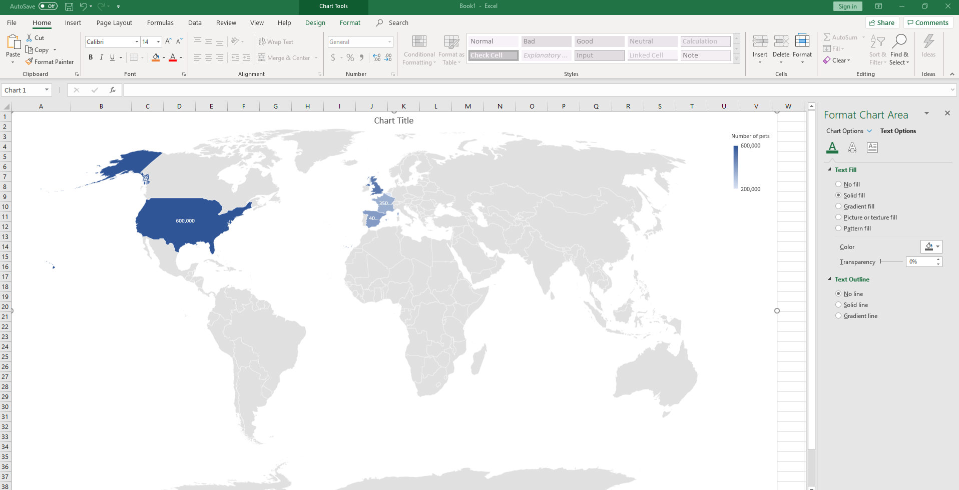
If you want to present countries by the population you can use the Values to show how many people live in each country. You can also present countries by using the Categories chart. The data for each country will be presented in different colors.
How to create a map chart in 4 steps
- In one column add data such as country, region, county, province, or just a postal code. In the second column add the values that present each geographic location.
- Select the cells you want to include in a table and set up a table.
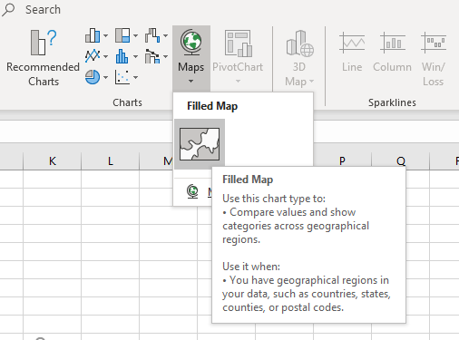
- Click on the Insert menu and then in the Charts tab click on Recommended Charts. The alternative way is to click on Maps instead of Charts. Depending on what data you have chosen, Excel will present either a value or category map.
- As soon as you click on OK, the map will show up.
How to format a map chart in Office
When you finalize these steps above you can improve the look of your map chart. First, click on the map and then go to Design option in the Chart Tools tab.
If you want to create a 3d map chart, you will need a special Excel feature for that.
Another limitation of map charts in Office is that you cannot insert street address, cities, or latitude and longitude. What is good, you can view your map charts without internet connection, but if you need to add something to the map or change it, you will need an internet connection.
Possible issues with map charts
It can happen that you enter the data and sort them out in two columns, but when you create a map chart, it is empty. Also, it can happen that some data is presented in the wrong countries. The thing is, there are places in the world that have similar names and you need to give more details so the maps locate the right place. To solve this, you can add an additional column in Excel where you will add the details that will differentiate one place from another with a similar name.
The post How to create a map chart in office appeared first on PCE Blog.